2021.02.03 Sugar Mountain

Plan for this trip was to video “Amelia skis every run at Sugar”. This was our starter mountain, and once seemed larger than life. I thought it would be fun to go back and show all those trails who’s boss. It is not every day that they have all trails open, so I watched the weather reports and waited for the opportunity, which came this year early February
I contend that Sugar is one of the few, perhaps only mountains in the South-East where a skier can find challenging runs. The three diamonds up top, while not very long, do have a very challenging pitch.
The only other place that comes to mind is the Western Territories at Snowshoe West Virginia. These are longer, more sustained runs, but never quite as harrowing.
As the crowds worked their way on mountain, the Easy Street lift started to fill with Darshes, and we opted to stay out of the beginner’s area, so we didn’t hit literally every run, but came home with video proof on all the challenging runs.
check out the videos below…
Lower Flying Mile
warm up run from the top. video begins mid-mountain.
From the top
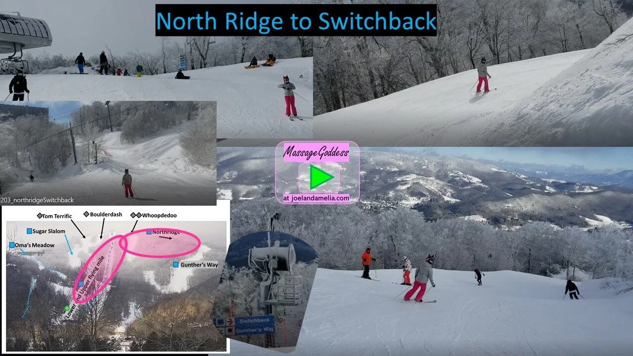
North Ridge is the intermediate way down from the top. Video continues with Switchback to Upper Flying Mile
Whoopdedoo
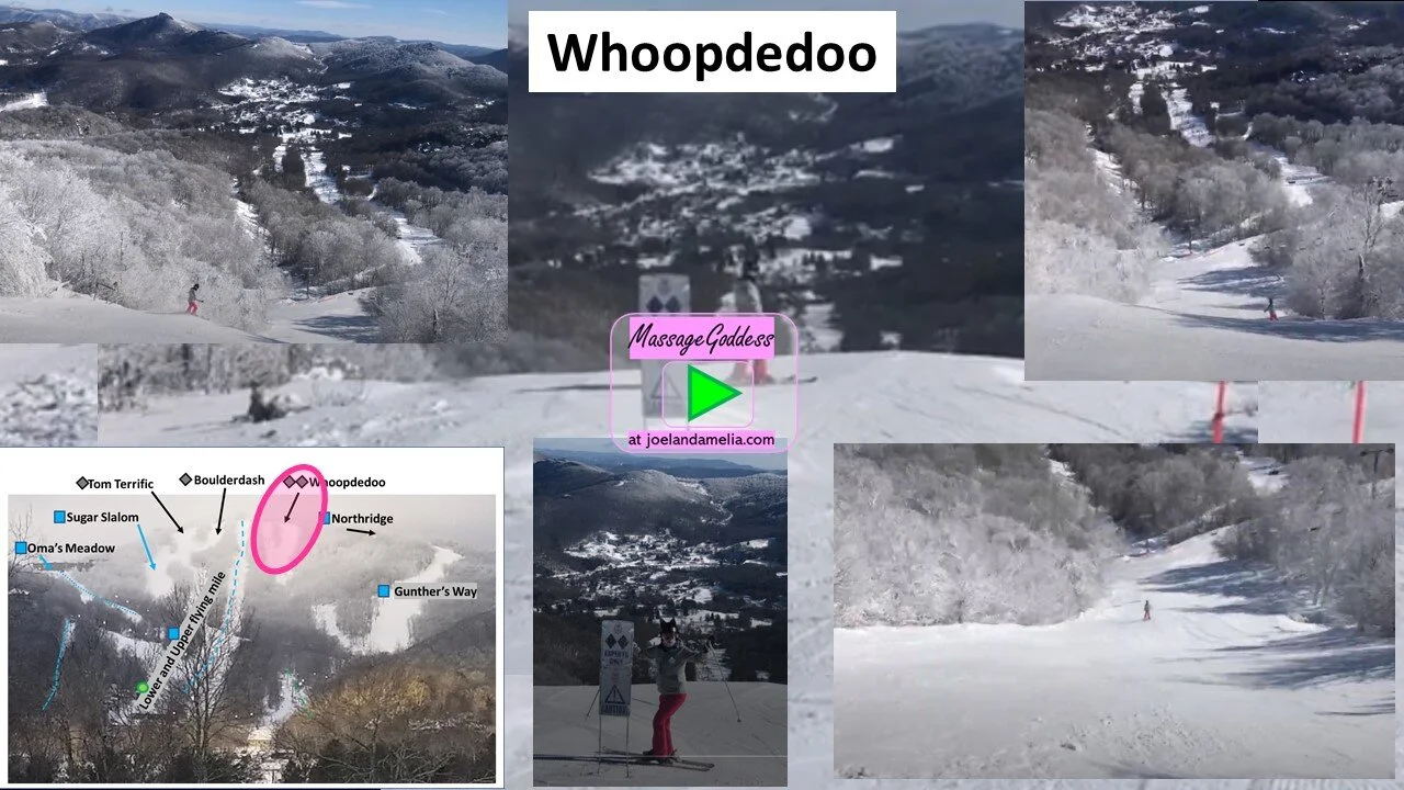
If, as I assert, Sugar Mountain is the only place in the SouthEast to find challenging ski runs, that would make Whoopedoo the only double diamond in the region
All three diamonds at Sugar are steep, and can get slick when hard-packed. Which of the 3 is most difficult is the subject of much debate among local enthusiasts. Whoopedoo has the technically steepest pitch, but is more consistent and a bit wider than the two runs on skier’s right. What make Whoopedoo a bit more demanding is the end, which terminates at the old unloading area (before the high speed 6-pack was installed, the old lift had a stop here.) This forces the skier to maintain greater control and come to a stop at the end, or else execute two abrupt turns at the bottom. The other two diamonds terminate with a straight shot to intermediate terrain, allowing darshes and nubes to straight-line and get away with it. Whoopededoo demands carving control, or you’ll have a bad time in the trees at the bottom.
Tom Terrific
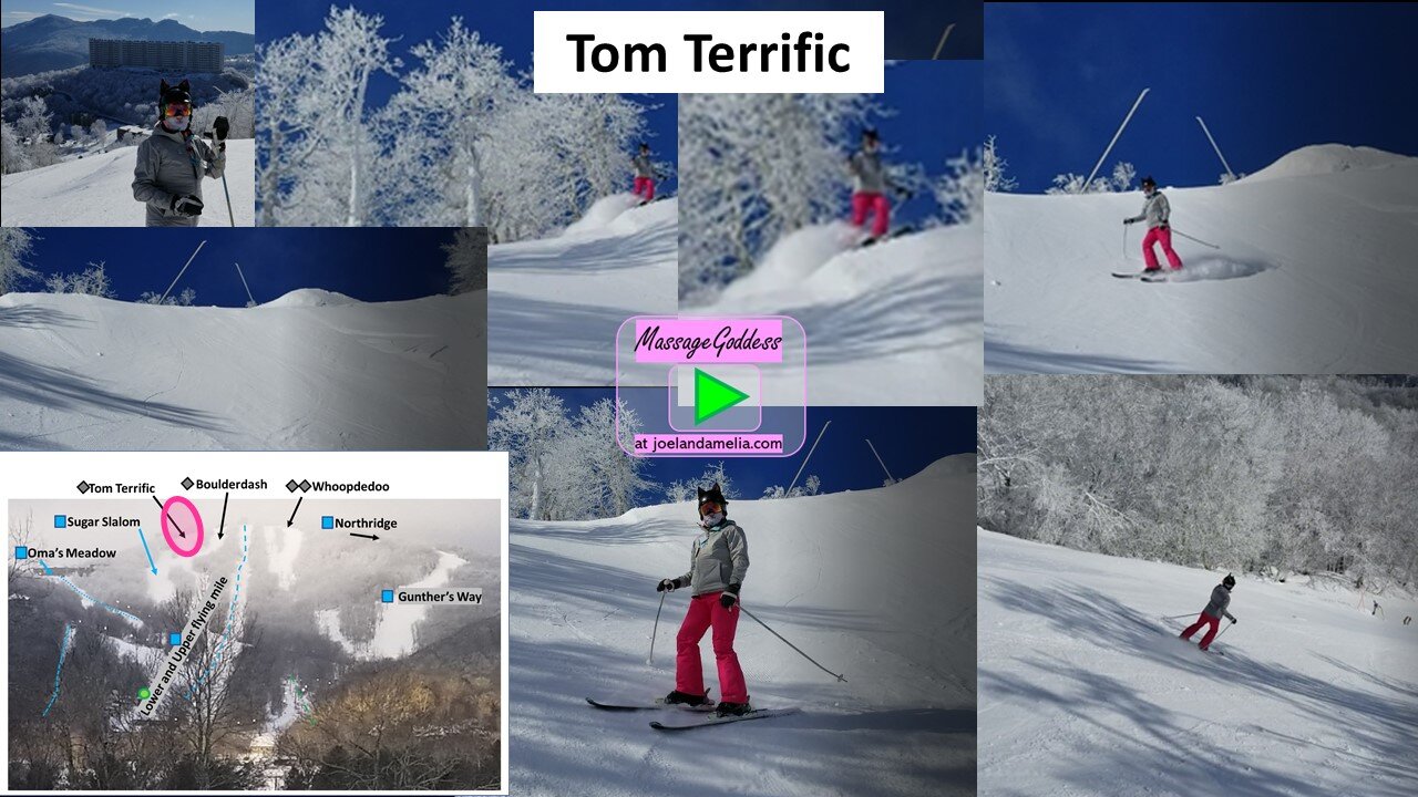
To get to Tom, navigate the slick summit hard-pack to far skier’s right, and take the quick drop down toward Sugar Slalom.
Sugar Slalom
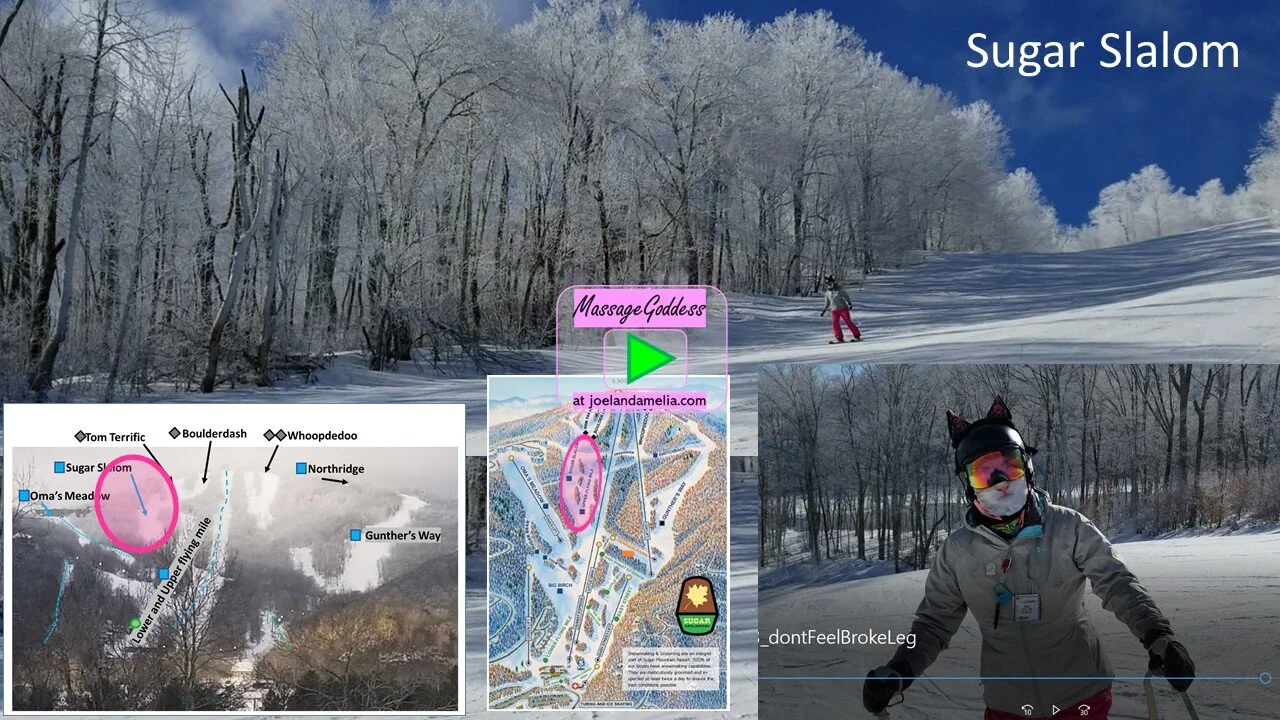
An intermediate (blue square) run that is only accessible via expert terrain, Sugar Slalom is one of the less frequently traveled areas at this mountain, helping maintain some of its groomed finish until later in the day.
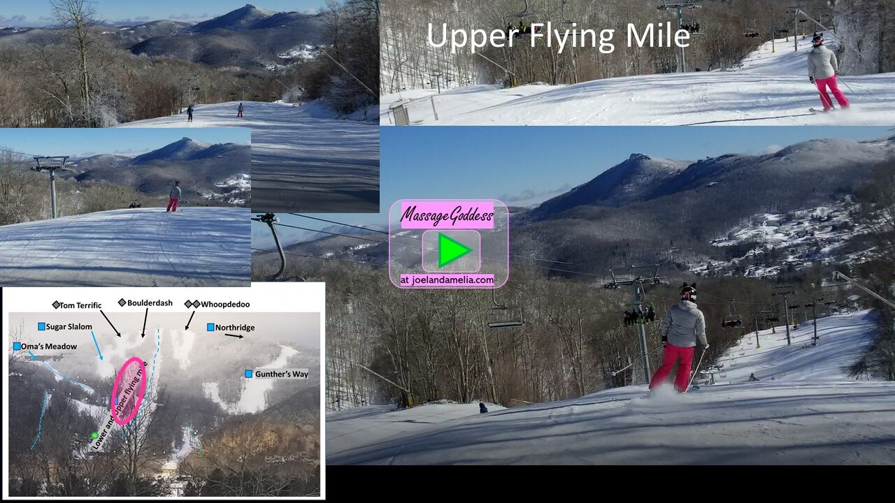
Upper Flying Mile
Most traffic from the upper mountain funnels down through this run, so it can get tracked out earlier in the day. The addition of Gunther’s Way a few years ago helped to decongest this area.
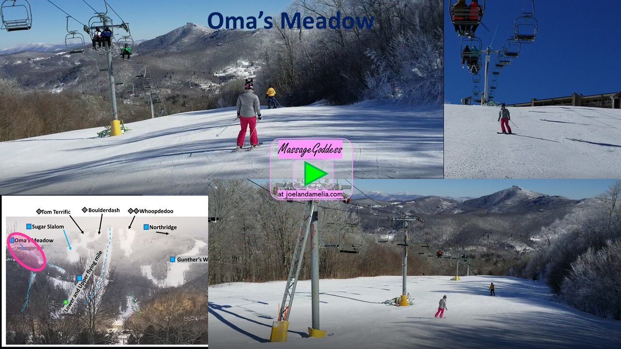
Oma’s Meadow
Accessed via side lifts, this easy-going area gets less traffic than the summit runs, and has a nice rolling hill descent, connecting back to the main runs below the base of Oma’s lift. Watch out for darshes swarming the queue.
Sugar Bear
Sugar Bear, a short side trail, off Oma's Meadow, skier's right, stays high and drops at the end near the loading dock for Oma's lift
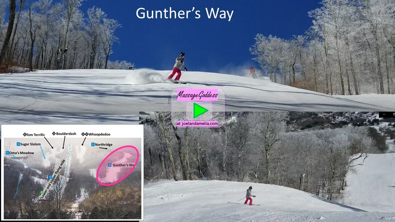
Gunther’s way
With the addition of the new Gunther’s Way trail for the 2014-2015 season, and the high-speed Summit 6-chair the following season, Sugar upped their game on being the best mountain in North Carolina, if not the South-East.
Gunther is an intermediate to expert run (blue/black) that drops the majority of Sugar’s 1200 feet mostly at once, in a longer, wider run.
Little Nell
This short corridor connects the bottom of Gunther’s Way back to the main area. The other option from here is to head skier’s left toward the Easy Street lift, where it all started. We opted not to go that way as it was filling up with Darshes and nubes.
Boulderdash
Of the 3 expert runs accessible from Sugar’s Summit lift, some say Boulderdash is the most challenging. It is steep, variable, and narrow. Slick and hard packed most of the time. It’s only saving grace is that there is a more shallow stretch to run out one’s speed at the bottom.


